Thank you Daniel for your help.
In the British context, I think adjusting appropriately sized areas is still difficult. Whilst the lowest admin areas (postcodes) are too small and overwhelming in number, the intermediate areas are too big.
London is a good example: Greater London (the official name) consists of 33 smaller districts - 32 boroughs (like ‘Ealing’ or ‘City of Westminster’) and one small financial district known as the ‘City of London’. Combined, these areas have a total population of over 9 million.
London Ambulance Service divides itself into 5 sectors, which have their own management and dispatch areas - North West, North Central, North East, South East, and South West. These areas each contain a handful of the 33 boroughs, as dispatching emergency vehicles for the whole of London would be an impossible task.
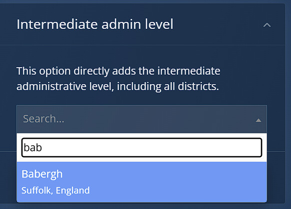
Currently in the sim - if I use the grouping settings, I can only select intermediate area. This only allows me to choose ‘Greater London’, so I cannot set up a smaller, realistic area, like North Central.
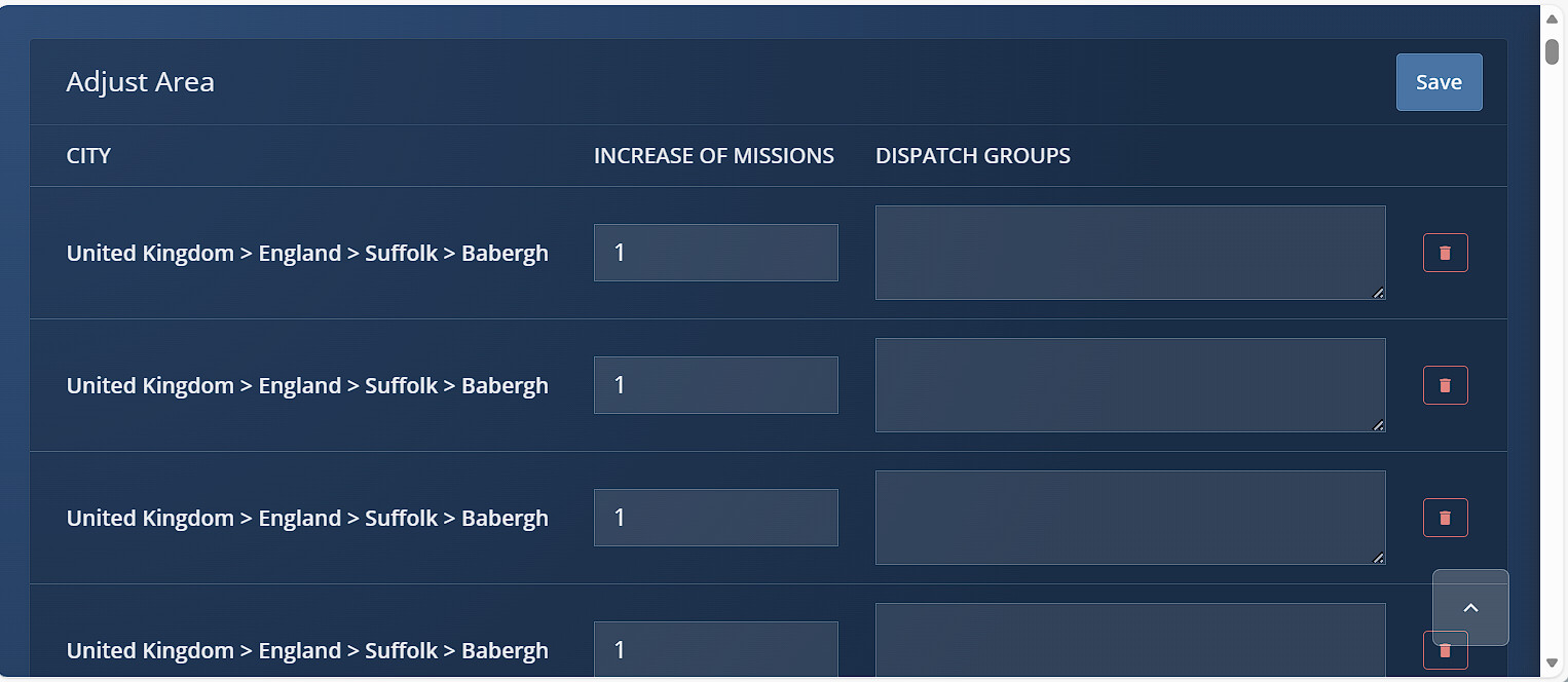
If the grouping settings are turned off, then I can only adjust by postcode:
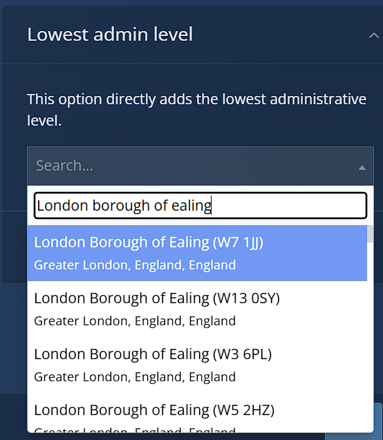
I think the best solution would be to group by Lowest Admin Level name, as long as they are in the same intermediate area (some distant towns have the same names - e.g. there is a ‘St Ives’ in both Cambridgeshire and Cornwall). For example, in the screenshot, searching for Ealing returns multiple postcodes with the same area name of ‘London Borough of Ealing’. It would be better if these were grouped together in the Lowest Admin Level tab, as one entry called ‘London Borough of Ealing’. Smaller than the intermediate ‘Greater London’, but larger than the lowest ‘W7 1JJ’.
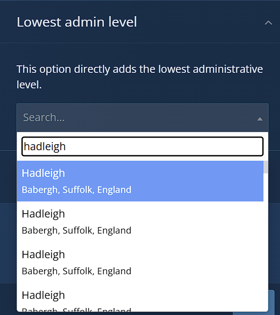
The same issue exists in other parts of England.
Would this be feasible? Or is the problem in the British Isles address database, and would this need changing?
 The team is reviewing the issue based on provided information and will prioritize it next.
 Das Team prüft das Problem anhand der Angaben und wird es anschließend priorisieren.